Hurricane Polo came ashore on the Pacific coast of Baja California Sur shortly before midnight local time on Monday, just south of the small town of Las Barrancas. The National Hurricane Center said the data suggested it was "likely" a Category 2 hurricane at landfall, with sustained winds of 90 to 95 knots.
By 5am on Tuesday it had crossed the peninsula, weakened to 75 mph, and was over the Gulf of California heading north-east for a second landfall in the Mexican state of Sonora. After that, the hurricane center expects "rapid weakening" over the mountains of north-west Mexico, and dissipation within a day.
For most of the United States, that is where a Pacific hurricane story would end. This one is only beginning.
Where the storm goes when it dies
The hurricane center's forecast discussion put it in a single sentence. Polo's remnants, it said, "will likely interact and phase with a strong cutoff low digging into the Four Corners region of the U.S. on Tuesday and Wednesday, contributing to heavy rainfall, flash flooding, and gusty winds in the southwestern U.S. and southern Plains."
A cutoff low is a pool of cold air aloft that has been detached from the jet stream and can sit and spin for days. When deep tropical moisture from a dying hurricane is drawn into one, the moisture is lifted, cooled and wrung out over whatever lies beneath. On this track, that is the high desert and mountains of New Mexico and southern Colorado, and then the Plains.
The Weather Prediction Center, the forecast office that handles rainfall for the whole country, had a moderate risk of excessive rainfall in force on Tuesday morning from south-central Arizona to south-west Kansas. Within that, it marked a "higher-end" moderate risk from about the middle of New Mexico to southern Colorado, including the Sangre de Cristo mountains and the north-west corner of the Texas Panhandle.
It gave its reasons plainly: "nearly saturated soils", low thresholds for flash flooding, instability around what is left of Polo's centre, and moisture streaming in from the south. Together, it said, they made the region "the area most likely to experience locally catastrophic flooding from the 2-4 inches (locally higher) of rain expected".
Ten states, 470 zones
At 12.27 UTC on Tuesday, about 6.30am in Denver, this desk counted the flood watches on the National Weather Service's public alert feed. There were 30 of them, issued by 26 local offices, covering 470 forecast zones and counties in 10 states: Arizona, New Mexico, Colorado, Utah, Texas, Oklahoma, Kansas, Nebraska, Iowa and Missouri.
Texas had the most zones under a watch, followed by Arizona, New Mexico, Iowa and Nebraska. The watch from the Pueblo, Colorado, office runs until Thursday morning and describes "periods of heavy rainfall associated with a remnant tropical storm system" spreading across southern Colorado, including the Aspen Acres burn area. Burned ground sheds water almost as fast as pavement, which is why burn scars appear by name in flood products.
Some reports on Monday put the count at 11 states. Watches are issued, extended and cancelled through the day, and the number will not be the same by the time you read this. The shape is the point: the watches run in a band nearly 1,000 miles long from the Mexican border to the Missouri River.
Iowa is a different kind of rain
Not all of that band faces the same threat. The Weather Prediction Center said on Tuesday that guidance had "shifted south and east across the Plains from Nebraska through Iowa", and that a lack of instability along a warm front there meant most of the rain would be steady rather than torrential, limiting "numerous and/or widespread cases of flash flooding". It kept only a slight risk across parts of the central Plains.
That distinction matters for anyone reading a flood watch in Omaha or Des Moines. A watch means conditions are favourable for flooding, not that it is happening or will. In the Southwest, the concern is sudden, violent runoff in canyons, arroyos and low-water crossings. Further north-east it is mostly a long, soaking rain on ground that can take some of it.
What Southern California got
Southern California spent the weekend watching Polo's track. Long Beach held a community meeting about coastal protection, and NBC Los Angeles reported the Peninsula and Belmont Shore, Avalon and Malibu as the places of greatest concern for coastal flooding. On the National Weather Service's feed on Tuesday morning there were no flood watches in California at all.
The hurricane center's remaining warnings are for Mexico: hurricane warnings on both coasts of Baja California Sur and on the Sonora coast from Bahía Kino to Huatabampito, where the storm surge and "life-threatening flooding and mudslides" are the immediate danger.
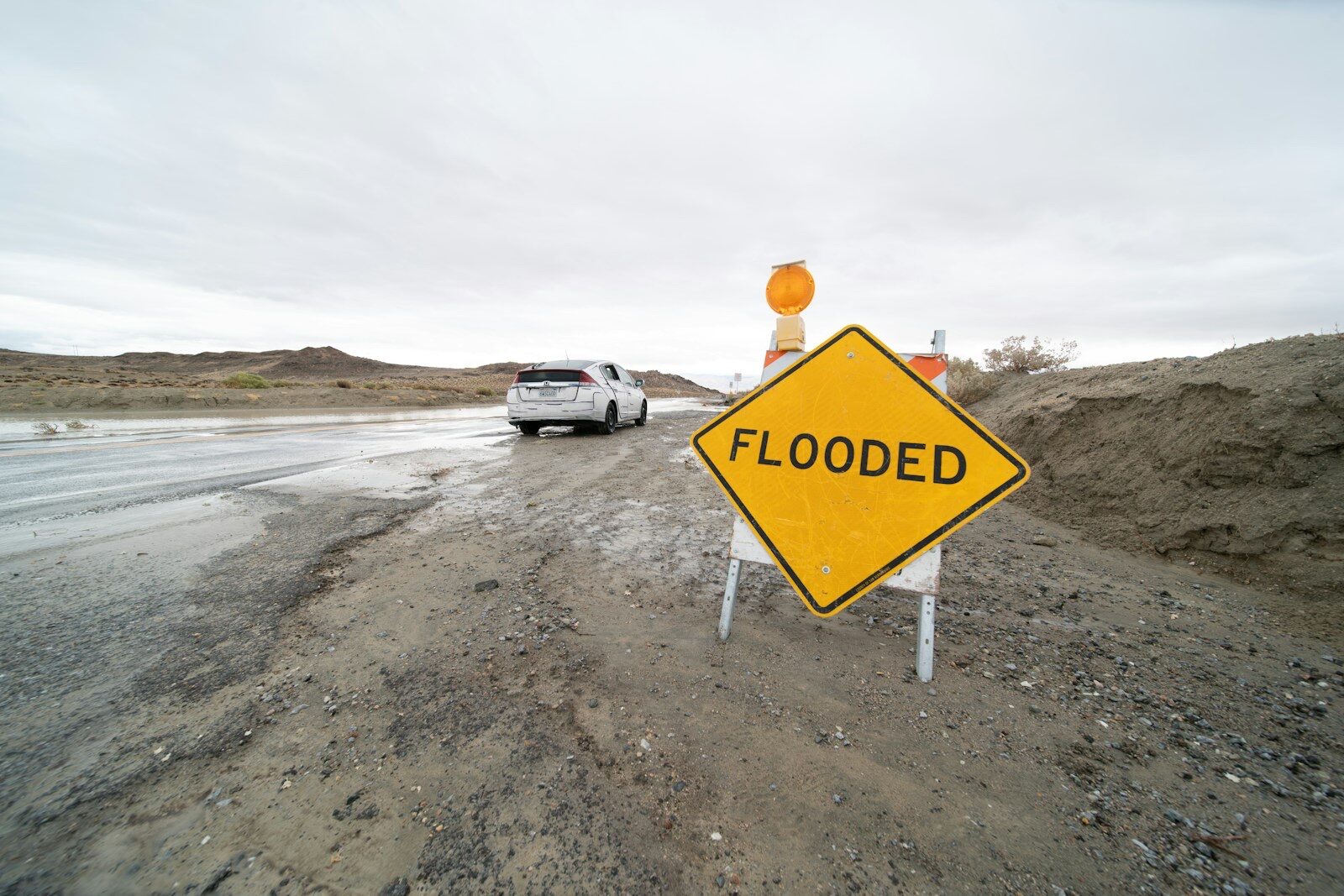
For the United States, as with last week's nor'easter on the other coast, the useful instruction is the one printed in the forecast products themselves: turn around at flooded roads, and watch the local office rather than the hurricane. The hurricane will be gone by Wednesday. The rain it carried will still be falling.
Landfall, intensity, track, forecast positions and the quotations about Polo's remnants are from the National Hurricane Center's Hurricane Polo Discussion Number 35 (corrected), issued 2am MST on 29 September 2026, and Intermediate Advisory 35A, issued 5am MST, both read on nhc.noaa.gov. The excessive rainfall risk areas, the expected totals and the quotations about soils and catastrophic flooding are from the Weather Prediction Center's Day 1 Excessive Rainfall Discussion issued 4.19am EDT on 29 September. The count of flood watches, zones and states was made by this desk from the National Weather Service's public alerts API (api.weather.gov, event type Flood Watch) at 12.27 UTC on 29 September; a zone is a forecast zone or county code, and the count changes as offices issue and cancel products. The Pueblo, Colorado, office's wording is from its active flood watch. The figure of 11 states appeared in some reports on 28 September; we count 10 on the feed at the time we checked, and the difference is likely timing. The Southern California surf concerns are as reported by NBC Los Angeles. Accurate to 8.35am ET on 29 September 2026; check your local National Weather Service office for current warnings.
Topics nationalweatherflooding