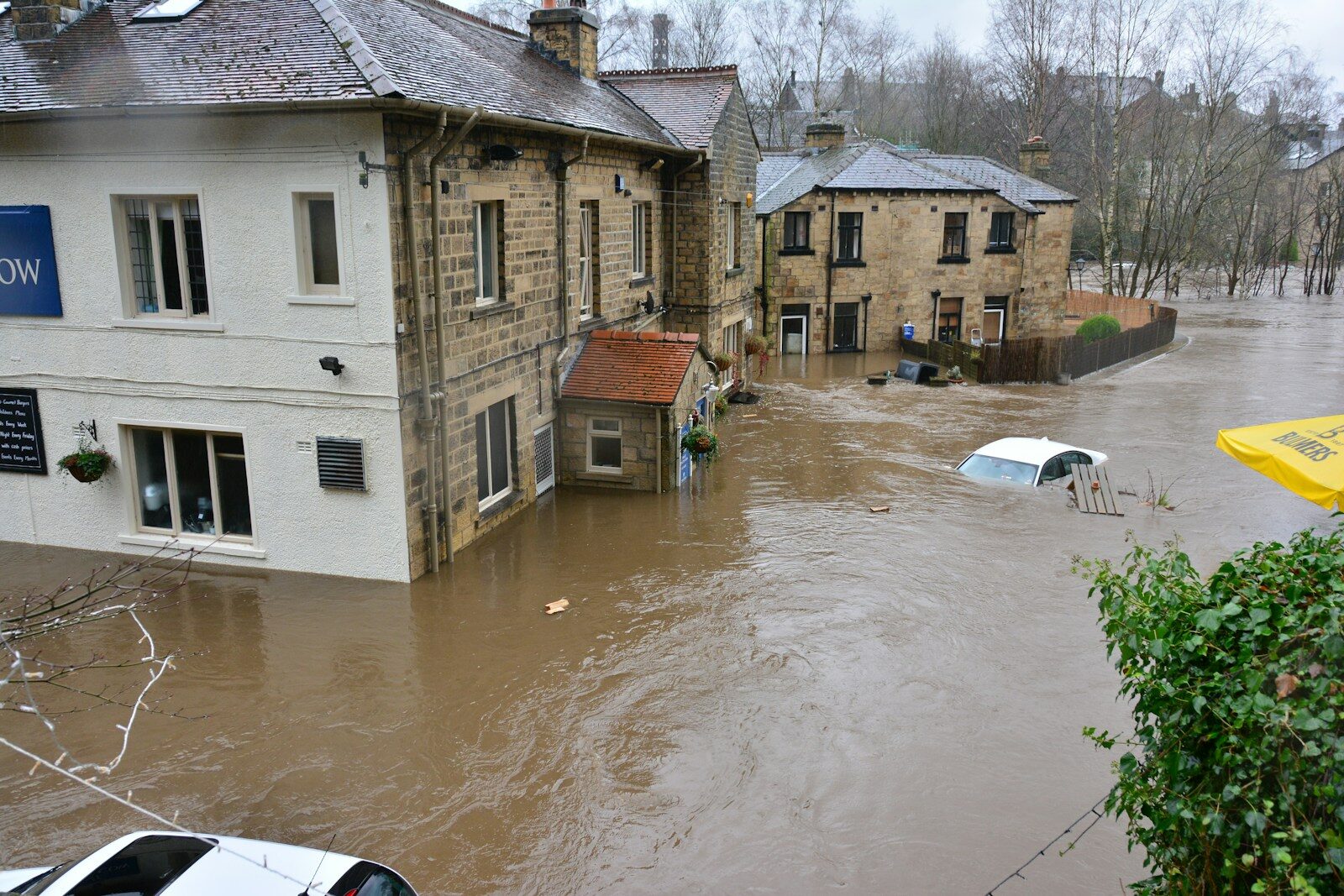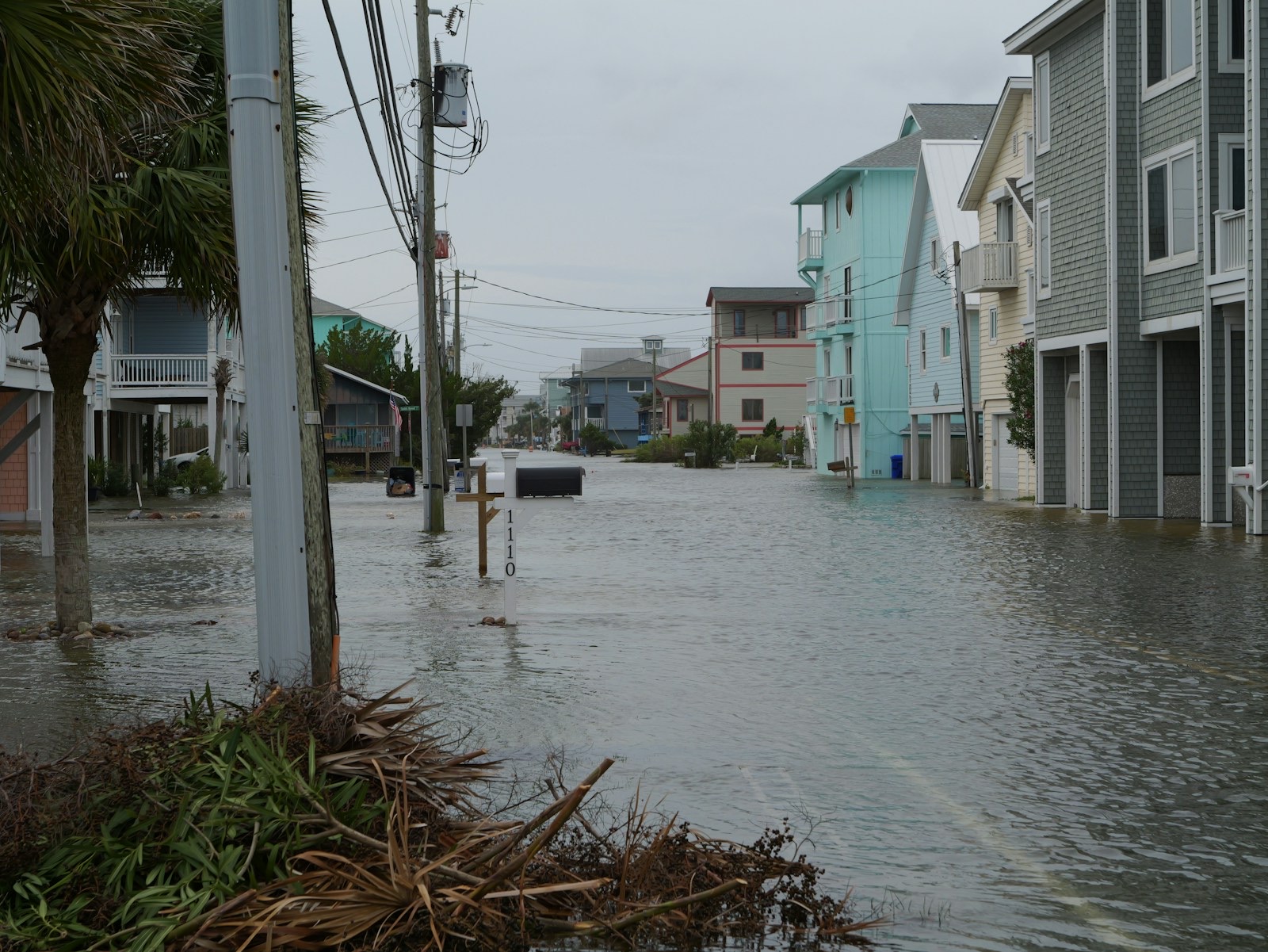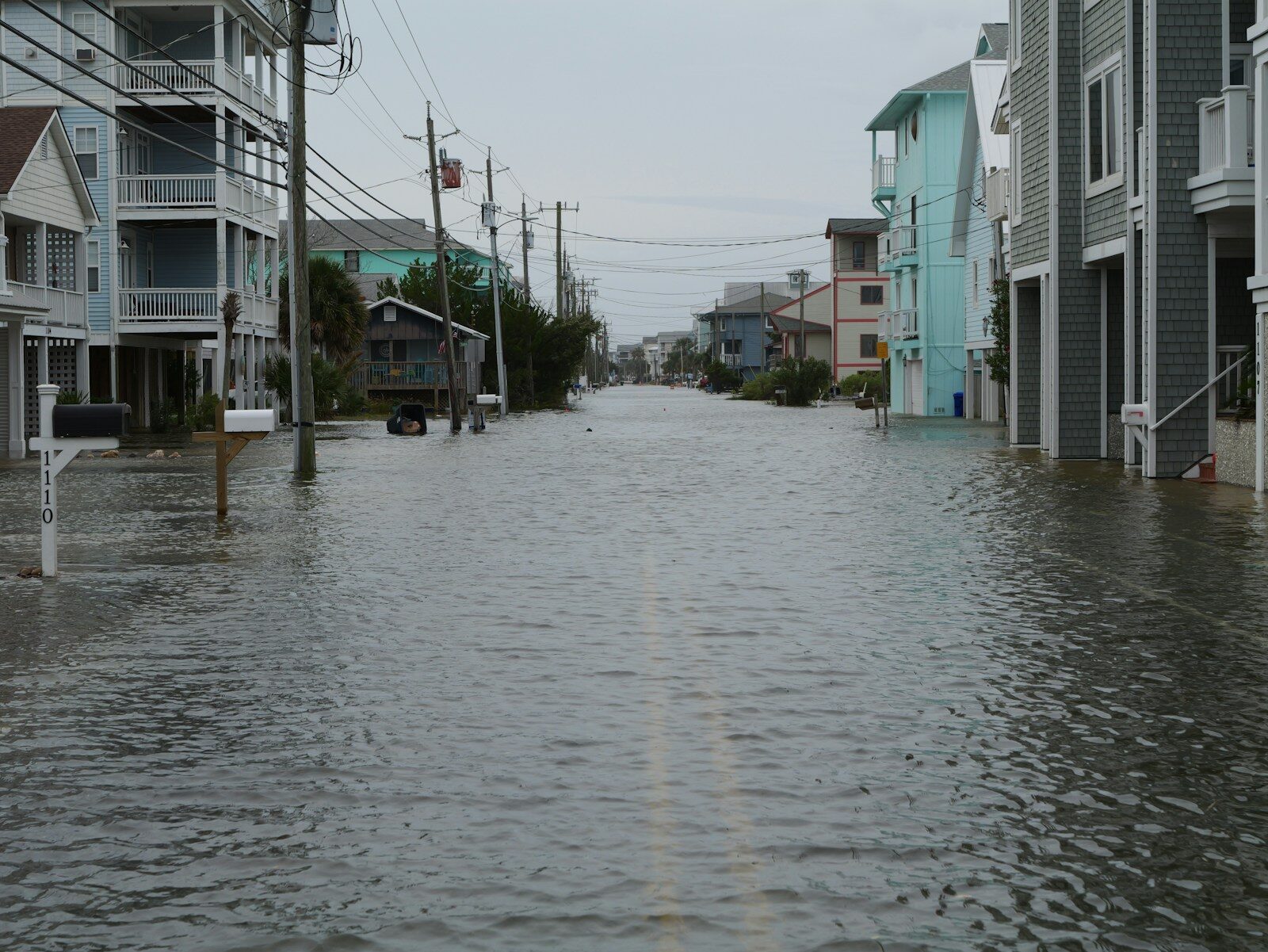
A coastal low of about 995 millibars is sitting off the Mid-Atlantic, and the reason it matters is not its intensity but its persistence. Hurricane Sandy, in 2012, came ashore at 940 millibars and did its damage in a single tide cycle. This storm is weaker by 55 millibars and is being forecast to hold a north-easterly fetch across four or five of them, on a weekend when the astronomical tide is already running high: the full moon is at 12.49pm EDT on Saturday.
That is the whole mechanism. Water that would ordinarily drain between high tides does not, and each successive cycle starts from a higher base.
What follows is organised by product and hour, because forecasts move. Every figure is attributed to the National Weather Service office that issued it and the time it was issued. Nothing below should be read as current more than a few hours after publication; the live products are at weather.gov.
The national picture, as of 4.27am EDT Saturday
The Weather Prediction Center's Short Range Forecast Discussion, issued at 0827 UTC and valid to 12 UTC Monday, is the anchor document. It forecasts "major coastal flooding to the Mid-Atlantic Coast over multiple high tide cycles," with widespread major flooding expected from the Saturday morning high tide onward. It carries wind gusts "increasing to 45-65 mph for Eastern Long Island and Southeastern New England," warns of power outages and tree damage, and places a Slight Risk — level 2 of 4 — of excessive rainfall over southern New England for Saturday into Sunday. Rip currents and beach erosion are expected from the Carolinas through southern New England into Monday.
One clarification, because the storm's identity has been a source of confusion. The National Hurricane Center is not issuing advisories on it. Its Atlantic Tropical Weather Outlook of 8.00am EDT on Saturday lists two systems — Tropical Storm Gonzalo near the Cabo Verde Islands and Tropical Depression Fay well west-south-west of the Azores — and states that "tropical cyclone formation is not expected during the next 7 days." The East Coast low is a warm-core frontal system drawing energy from the jet stream over water in the 60s, too cool for meaningful tropical development. Jamie Rhome, the Hurricane Center's deputy director, has said the question of naming it turns on whether a name "would help with the public messaging" rather than on classification. For anyone in its path the distinction is academic; for anyone reading a tracker that shows no named storm, it is the explanation.
New York and Connecticut, as of 7.48am EDT Saturday
The Upton office forecasts sustained winds of 30-35 mph in coastal areas with gusts of 45-55 mph, and "some 60 mph gusts in exposed areas of eastern Long Island and SE CT."
Rainfall: 3-4 inches across Long Island and Connecticut, 2-3 inches from New York City north and west, running Friday through Monday, with rates in the heaviest bands under half an inch an hour. That last detail is the good news in the forecast — it is the difference between coastal flooding and widespread flash flooding.
Coastal flooding: "widespread moderate to locally major flooding coastal flooding remains likely for Long Island and Queens thru the Sun AM high tide," with the greatest threat to southern Nassau and south-western Suffolk, including the north-facing portions of the barrier islands. The office expects the Saturday morning high tide to be the highest of the sequence.
Marine: ocean swells near 13-16 feet, with surf of 7-11 feet closer to shore. Wind advisories, coastal flood warnings and coastal flood advisories run through Sunday across Connecticut, New York and New Jersey, with gale and storm warnings on the ocean waters.
New Jersey and Delaware, as of 4.39am EDT Saturday
Mount Holly expects "Major Coastal Flood levels" for the New Jersey Atlantic coast, the Delaware Atlantic coast and portions of southern Delaware Bay, enhanced by astronomical tides rising into Saturday's full moon. The Saturday morning high tide is identified as the worst.
Rainfall is lighter here than to the north-east: 1-2 inches along the I-95 corridor and points north and west, with as much as 3 inches over much of eastern New Jersey, spread over 48 to 60 hours.
Winds: coastal gusts to 60 mph, inland gusts to 50 mph, with sustained speeds of 25-35 mph at the coast. On the ocean, 35-45 knots sustained with gusts to 60. Active products include high wind warnings for the New Jersey and Delaware coastal zones, wind advisories inland into Pennsylvania, coastal flood warnings and advisories, a high surf advisory, and gale and storm warnings on the marine zones.
Southern New England, as of 8.04am EDT Saturday
Taunton reports gusts of 45-55 mph along the coast with several stations already above 60 mph, and 35-45 mph inland, continuing through Sunday. Rainfall of 3-5 inches over 72 hours, heaviest at the coast and on the eastern slopes of the Connecticut and Worcester hills.
Minor coastal flooding has already occurred on Nantucket with roughly 2 feet of storm surge measured. The east-facing Massachusetts coast south of Boston carries the greatest risk, for the reason that defines this storm: a long north-easterly fetch, sustained, with no opportunity for water to recede between tides. High wind warnings and wind advisories run to 8am Sunday; coastal flood warnings and advisories and a high surf advisory to 8pm Sunday; marine storm warnings into early Monday.
How high the water gets
The tide-gauge forecasts are where this storm becomes legible to anyone who lived through 2012. As of Friday night, Barnegat Bay was forecast to approach its second-highest level on record, 0.8 feet below its Hurricane Sandy mark. Atlantic City was on course for ninth-highest, 0.6 feet below Sandy. Cape May was within 0.3 feet of Sandy's level. Sandy Hook was forecast to reach its highest since December 2022. The Battery, in Lower Manhattan, was forecast third-highest on record — but 5.5 feet below Sandy, which put a 14-foot surge there. Bridgeport, Connecticut, fifth-highest, 3.4 feet below Sandy.
Read those two columns together. Several gauges are near record territory; all of them are below a storm that caused catastrophic structural damage across twenty states. This is a flooding and erosion event, not a Sandy repeat, and the practical consequence is that the losses will concentrate in basements, ground floors, vehicles, dunes, bulkheads and roads rather than in destroyed building stock.
Offshore wave heights were running 15-20 feet with open-ocean heights near 27 feet. Manasquan, New Jersey, was forecast to reach 7.7 feet at the Saturday 8am tide. Long Island's south shore faces its worst windows at roughly 9-11am and 9-11pm Saturday and 9-11am Sunday.
What the states have committed
Governor Kathy Hochul declared a state of emergency at 4.05pm EDT on 25 September covering Bronx, Kings, Nassau, New York, Queens, Richmond, Suffolk and Westchester counties. "We're expecting dangerous coastal flooding, strong winds and potential power outages through the weekend," she said.
The mobilisation behind that declaration is itemised, and it is the clearest available proxy for what the state expects to spend. Statewide, 5,675 workers are assigned to response and restoration, including 175 overhead mutual-aid contractors brought in by Con Edison. The Department of Transportation has committed 3,375 supervisors and operators, 1,404 large dump trucks, 324 loaders, 96 chippers, 91 excavators, 50 loader-grapple attachments, 33 water pumps, 32 traffic-signal trucks, 20 vacuum trucks with sewer jets and 10 tree-crew bucket trucks. Fire Prevention and Control has pre-staged high-axle vehicles and swift-water rescue teams. The MTA banned empty tractor-trailers from its bridges and tunnels from 12.01am Saturday to 2am Sunday.
New Jersey's Governor Mikie Sherrill declared a state of emergency across eight counties: Atlantic, Burlington, Cape May, Cumberland, Middlesex, Monmouth, Ocean and Salem. Connecticut activated its emergency operations centre around the clock.
The exposure
The commercial cost of this storm is accruing in three places, and the early counts are already sizeable.
Aviation first. By Friday afternoon there were more than 2,600 delays and close to 200 cancellations nationally, with average arrival delays above an hour at the New York airports; LaGuardia was under a ground stop and JFK and Newark under ground-delay programmes. JetBlue, American and United issued waivers.
Power second. Outages were modest at 9.56pm Friday — above 7,000 in New Jersey and above 5,000 in New York, concentrated on Long Island and in coastal Queens — but the wind maximum arrives with saturated ground, which is the combination that brings trees down. Cape Cod through Long Island and the Jersey Shore is the zone to watch.
Events third, and this is the line item that does not recover. The Global Citizen Festival in Central Park was cancelled. So were Ed Sheeran's two nights at Gillette Stadium, AC/DC at MetLife, the entire Oceans Calling weekend in Ocean City, Maryland, two shows at the Stone Pony in Asbury Park and both weekend days of the New York Renaissance Faire. The Red Sox-Cubs finale was relocated to Tampa. A late-September weekend is the last full revenue weekend of the season for most of the Jersey and Delmarva shore; a cancelled festival weekend is not rescheduled into October.
On the Outer Banks, N.C. Highway 12 was closed on Pea Island between the Marc Basnight Bridge and Rodanthe, and on Ocracoke from the pony pens to the ferry dock, under as much as 4 feet of water and deep sand.
One more thing worth knowing
September nor'easters are rare — roughly 3.8 per cent of annual nor'easter activity, against a December-January peak. That is worth holding in mind when the insured-loss estimates arrive next week and are compared against a seasonal average that barely includes this month. The faster read, as ever, will come from the catastrophe bond market rather than from any insurer's filing.
Check weather.gov before you act on anything above. The Saturday evening and Sunday morning tides had not run when this was written.
Wind, rainfall, surge and tide figures and the lists of active watches and warnings are taken directly from National Weather Service text products read on weather.gov on 26 September 2026: the Weather Prediction Center Short Range Forecast Discussion issued 0827 UTC (4.27am EDT), forecaster Ziegenfelder, valid 12 UTC 26 September to 12 UTC 28 September; the Area Forecast Discussion from WFO New York (Upton) issued 7.48am EDT; the Area Forecast Discussion from WFO Mount Holly issued 4.39am EDT; and the Area Forecast Discussion from WFO Boston (Taunton) issued 8.04am EDT. The Atlantic Tropical Weather Outlook issued 8.00am EDT 26 September, forecaster Katz, lists only Tropical Storm Gonzalo and Tropical Depression Fay and states that "tropical cyclone formation is not expected during the next 7 days"; the National Hurricane Center is issuing no advisory product on the East Coast low. New York's mobilisation figures, county list and the Governor's quotation are from the Executive Chamber release of 4.05pm EDT on 25 September at governor.ny.gov. Historical tide-gauge rankings and comparisons with Hurricane Sandy, the New Jersey county list, observed peak gusts, outage counts, central pressure, wave heights, flight disruption, road closures and event cancellations are as reported by Fox Weather's live coverage, last updated 10.41pm EDT on 25 September. Forecasts change; readers should check weather.gov for the current product before acting on any figure here.
Topics nationalweatherfloodingnew yorkinfrastructureinsurance